Hope guide
Getting around Hope BC
Driving, parking and walking in a small canyon town on the highway, and what to plan for if you are only passing through.

Written by Hope Local Desk
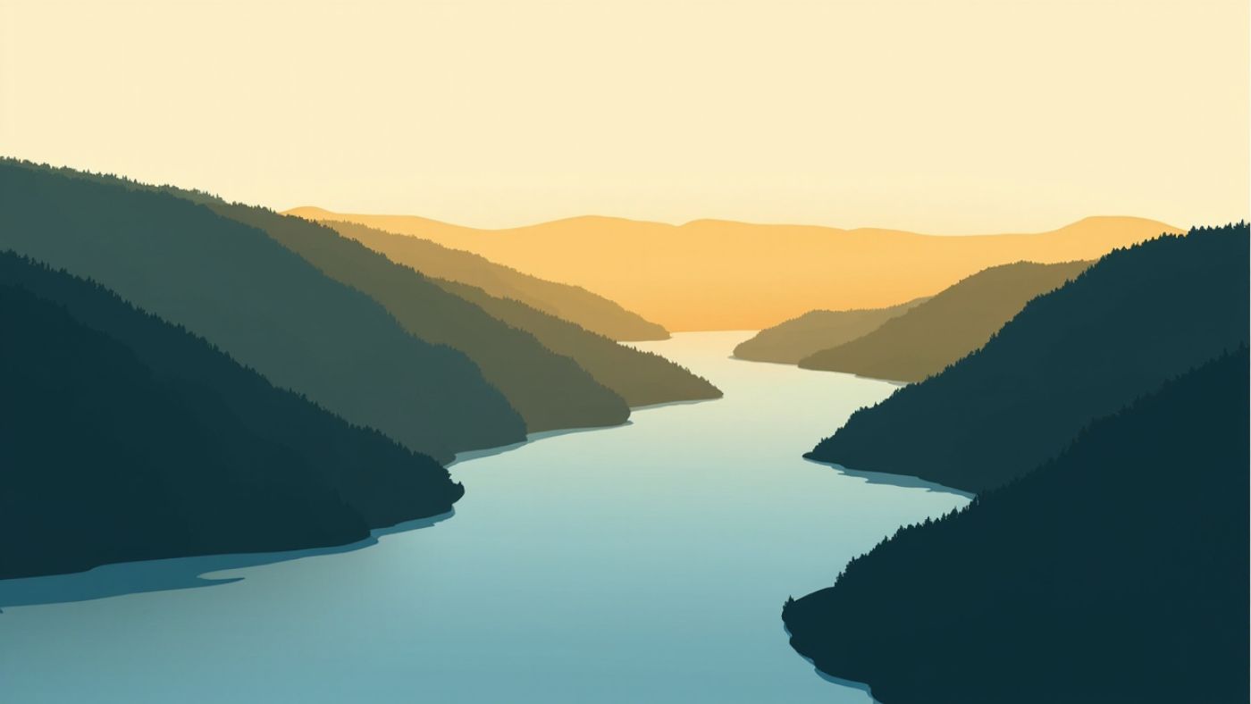
Hope sits in a narrow shelf of flat ground on the Fraser River, with the highway running alongside it and steep forested slopes rising on either side. That single fact explains most of what it is like to get around here. There is not a lot of room to manoeuvre, parking is tight, and the traffic through town is heavy because the highway has nowhere else to go.
If you are driving through rather than living here, the practical advice is to plan the stop rather than making one on the way past. Fuel, food and a bathroom are all available in town, and the map pins in the Hope directory will show you exactly how far each one is from the highway before you commit.
Winter is the other thing worth planning around. The canyon sees heavy snow and the roads through it change quickly, which is why so many local businesses keep irregular hours. If you are traveling the corridor between Fraser Canyon and the next town, check conditions before you set off rather than after.
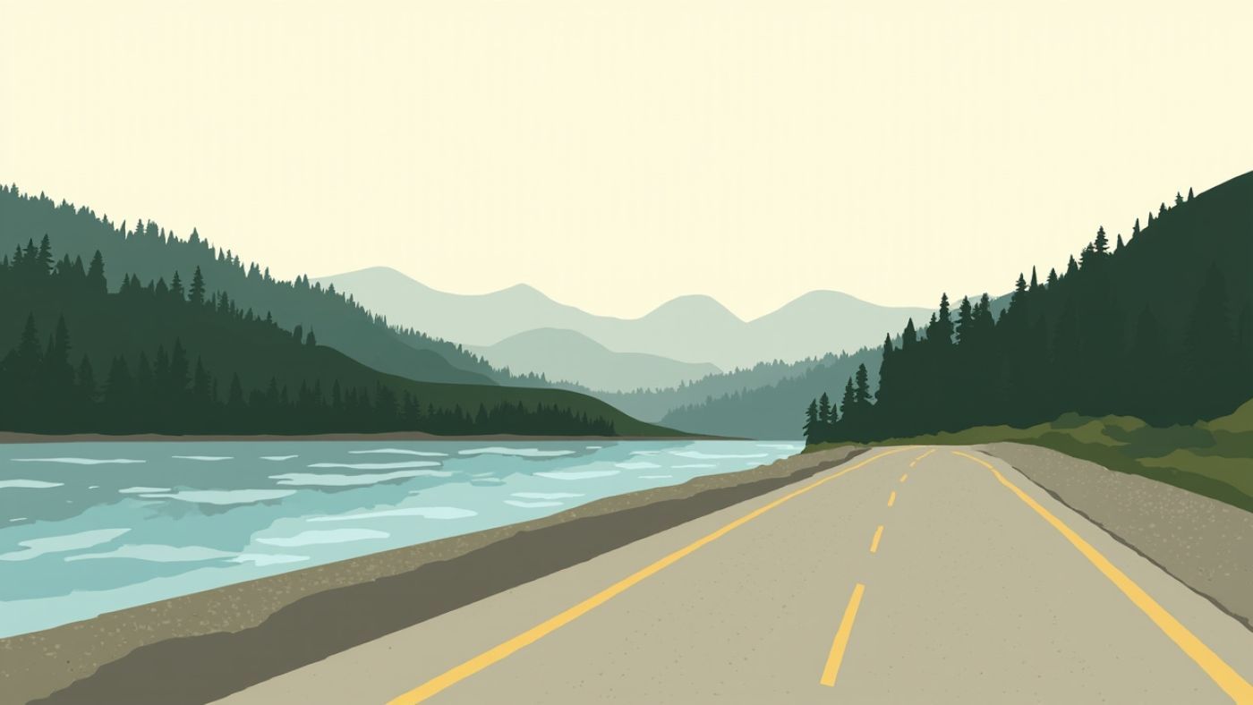
Walking in Hope is pleasant precisely because the town is small, though it is worth remembering that not every business sits beside the highway or connects to the same footpath. For a gentle walk with a purpose, the area around the lake recreation ground south of town is the most straightforward, and it is covered in more detail under Kawkawa Lake.
For a wider picture of the geology and the river itself, the Fraser Canyon reference is worth a look before you travel. The map data this directory is built on comes from the OpenStreetMap project, and every pin on the site traces back to it.